

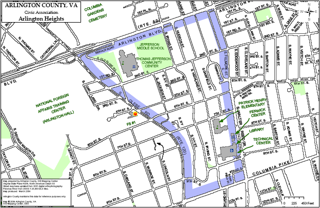
Here's a simple map of Arlington Heights (see below for more maps):
Arlington County provides numerous maps of its neighborhoods and civic associations. We've collected the ones pertaining to our neighborhood here:
- GIS Mapping Center, the starting point for most Arlington County maps
- Interactive map (GIS system)
- Arlington Heights Street Map
- All Arlington County Civic Associations Pike General Land Use Plan
- Columbia Pike General Land Use Plan